Thursday, March 12, 2009

Favorite Pictures and Notes on the Blog


This page serves as an account of our journey down (or up) the Appalachian Trail during the Summer of 2008. Originally we planned on updating the blog while we were hiking, but blogging was one of the last things we felt like doing while on the trail. We made this page in order to provide our families, friends, ourselves and anyone interested in the AT with an overview of our trip. Our journey lasted about 75 days beginning at Springer and ending in Luray, Virginia - just shy of half the trail. The posts are arranged in chronological order with links to specific places located on the side menu.

Monday, March 2, 2009

First Day: Springer Approach Trail and Amicalola Falls


It's easy to remember the feelings of excitement leading up to the beginning of our journey. The drive up from Stockbridge Georgia to the approach trail at Amicalola Falls only took a couple of hours. As we got closer to the trail the skies got darker and darker and eventually we were stuck in a pretty serious thunderstorm. We figured there would be no better time than the present to begin so we signed in and set out on our two and a half month journey down (or up) the AT.

Mom and Dad wanted to hike a little with us and we were more than glad to have their company. They turned back after we had our first bear encounter a few miles in.

The view from the top of the Falls.

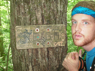
The official starting point


The view from Springer Mountain.

We hiked 13 miles our first day - mostly uphill and through the rain. Needless to say we were completely wiped out. Here is the shelter we stayed at our first night. It was one of the nicest shelters we saw on the entire trail. We met a crazy woman there who had a run in with a bear that stole her food a few hours before we arrived.

Sunday, March 1, 2009

The Beginning - Springer Mountain to the NC Line


The Georgia section of the AT is 75 miles long. The elevation is much lower than other sections of the trail, but its not an easy trek by any means. The weather was hot and the trail seemed to always be going up or down - never flat. There were lots of beautiful things to see which kept us going as we got our trail legs. I think our favorite part of the Georgia section was Blood Mountain.

A nice waterfall a few hundred meters off on a side trail during day 2.

Flame Azaleas in bloom during early June.

The face of pain - blister treatment.

Cliffs on top of Blood Mountain.

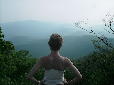
The view from Blood Mountain.
The fully enclosed shelter on top of blood mountain is typically a popular shelter but we had it all to ourselves as people got scared off due to the bear that stole someones pack that same morning - no sightings for us.

Rhododendron and Mountain Laurel in bloom on the descent from Blood Mountain.

The trail goes right through the Walasi-Yi center which was originally built by the CCC during the depression.

Our first campfire

Pretty forests.

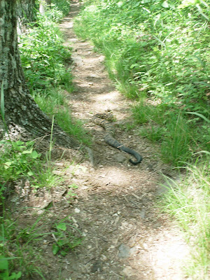
Rattlesnake Encounter - after some heavy stomping a few meters back he eventually slithered off the trail.
Jack in the Pulpit.

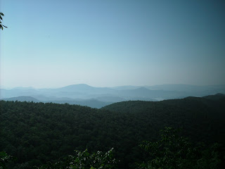
You don't get many good views in Georgia - especially during the summer when the trees are full of leaves. I would love to hike this section during the winter, but anyways here is a picture taken from a fire tower (if I remember correctly).
The Georgia/NC state line